GEOGRAPHY
Location:
The island is located off the African east coast, south of the equator in the Indian Ocean.
The coasts are separated by the Mozambique Channel. Distance from East Africa approx. 400 km.
In the immediate vicinity of Madagascar you will find the well-known islands of the Seychelles, Mauritius, La Reunion and the Comoros.
Area:
At 587,041 square kilometers, Madagascar is one and a half times larger than Germany, seven times larger than Austria and fourteen times larger than Switzerland. It is the fourth largest island in the world.
The north-south extent is 1,580 km and the east-west extent is around 580 km.
Population:
The country has 28.91 million inhabitants and there are 18 different tribes. Around 60 percent of the residents are younger than 20 years. 1.42 million people currently live in the capital Antananarivo.
The three largest ethnic groups are the Merina (25%), the Betsimisaraka (15%) and the Betsileo (12%).
There are roughly five landscape zones:
The East Coast: mountain slopes covered with rainforest, sloping gradually to the coast.
The Central Highlands: in the interior of the island with an altitude of 800 to 1,600 m, of volcanic origin.
The West Coast: with wide coastal plains
The South: with a semi-desert character
The North: the tropical spice chamber of Madagascar, vanilla sugar cane and cocoa thrive here. Volcanic landscape dotted with tropical rainforest.
There are also two enchanting tropical bathing islands that are very popular with tourists:
Nosy Be (Scent Island) in the northwest and St. Marie (Pirate Island) in the east.
The highest elevations are in the north the Tsaratanana Mountains up to 2,876 m, south of Tana the Ankaratra Mountains up to 2,642 m and in the south the Andringitra Mountains up to 2,656 m.
The highest mountain is Maromokotro at 2,886 m.
Topography:
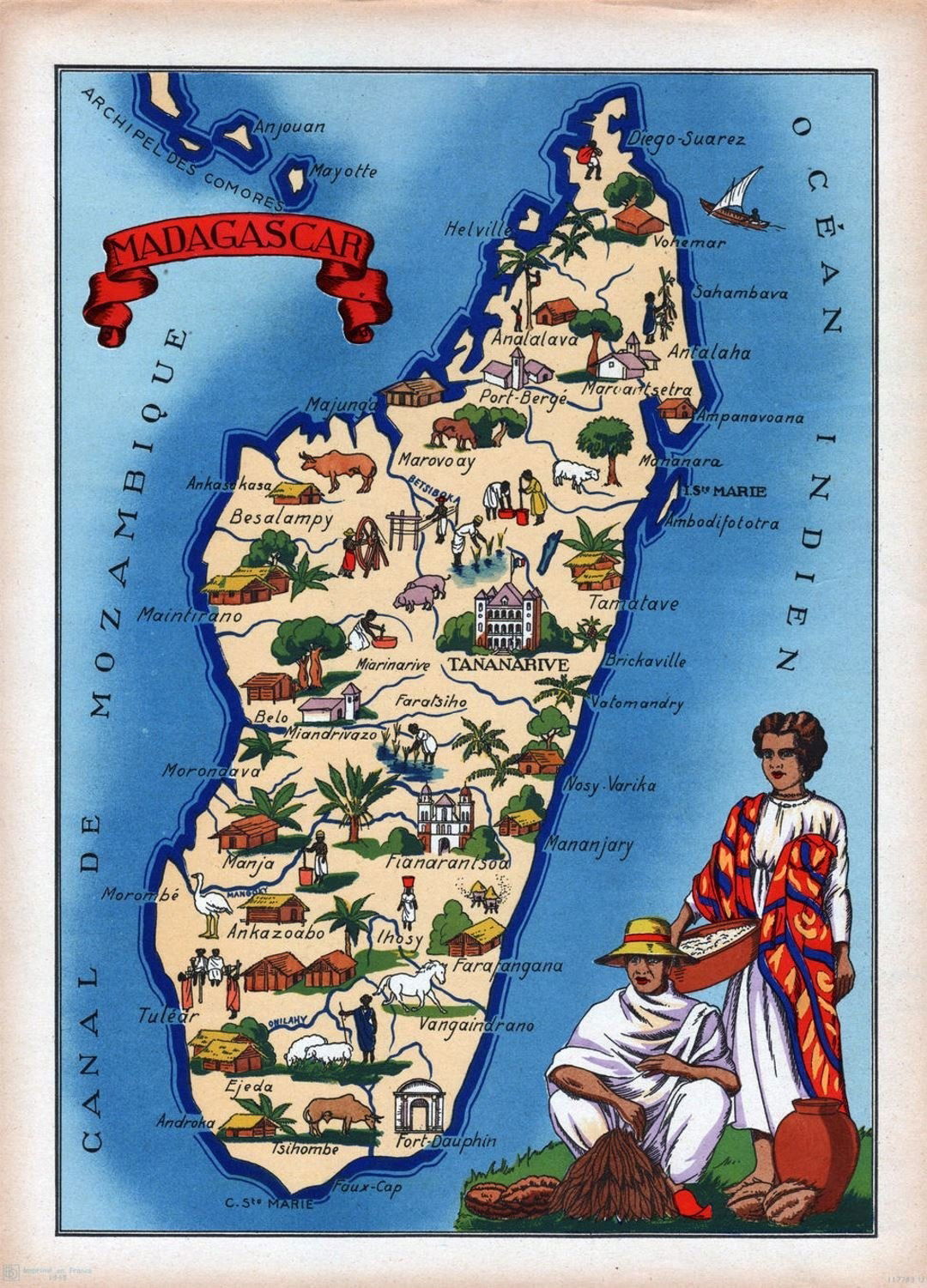
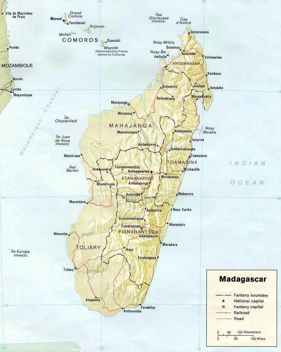
There are six provinces:
Antananarivo, Fianarantsoa, Toliara (Tulear), Mahajanga, Toamasina (Tamatave) and Antsiranana (Diego Suarez).
The capitals of each province have the same name.